UC Davis Tercero Student Housing Phase 4 received Silver for the 2019 Best in American Living Awards (BALA) in the Multifamily Student Housing category by The National Association of Home Builders (NAHB).
The 506-bed Tercero 4 Student Housing project, Mogavero’s third housing project on the UC Davis Campus, is comprised of 10 floor communities in three four story buildings in the Tercero District.
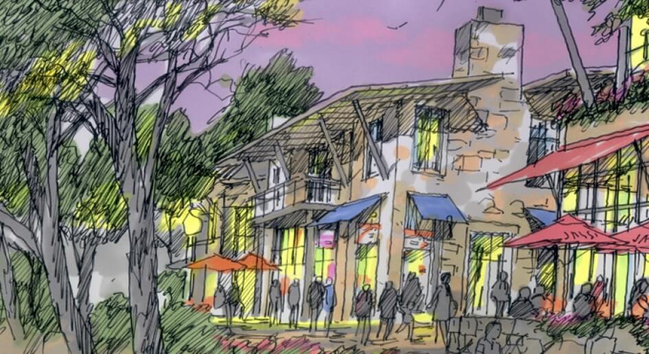
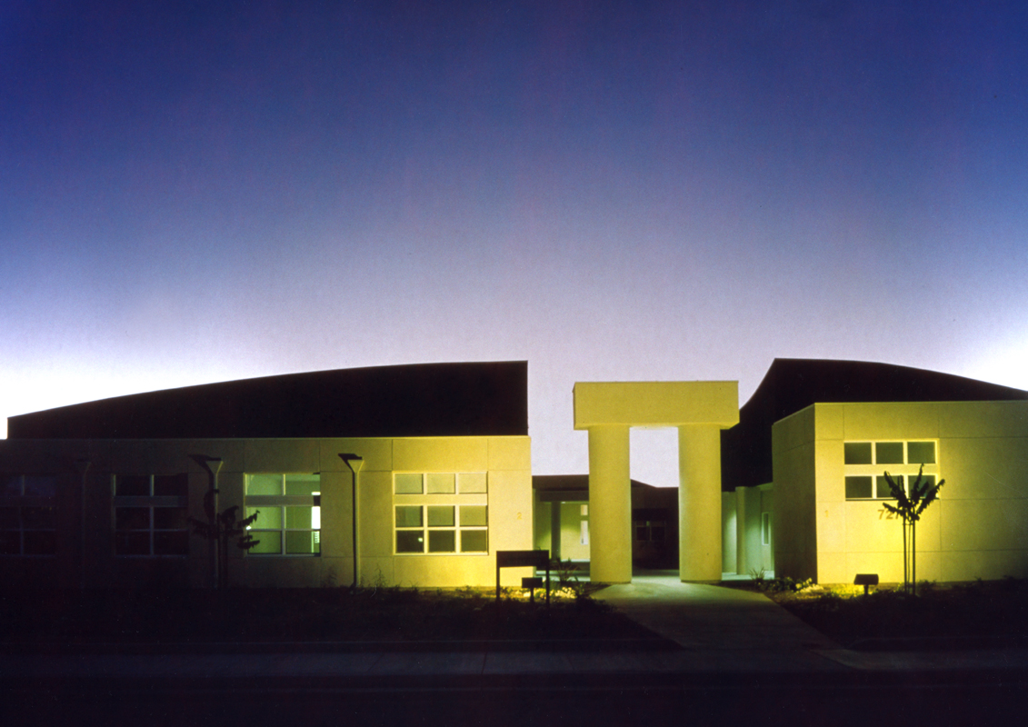
The building massing recognizes the desire lines from the project toward the center of campus (NE), the “food path” to the Dining Commons (NW) and the connection to the Tercero Quad (W). High activity rooms at the entry emphasize the dynamic quality of entry to the courtyard.
The site is organized around five primary elements.
Pavilion: The Community Room is treated as a pavilion structure that clearly states its importance for project’s tenants, the Tercero neighborhood and the first time visitor. The one story form provides a look-thru and look-over, exposing layers of the spaces beyond, giving a sense of what lies ahead.
Plaza: The main entry to the courtyard will be a very active plaza with comings and goings to the Dining Commons, Tercero Student Services and being flanked by the two highest energy spaces of the project, the Large Meeting Room and the Recreation Room
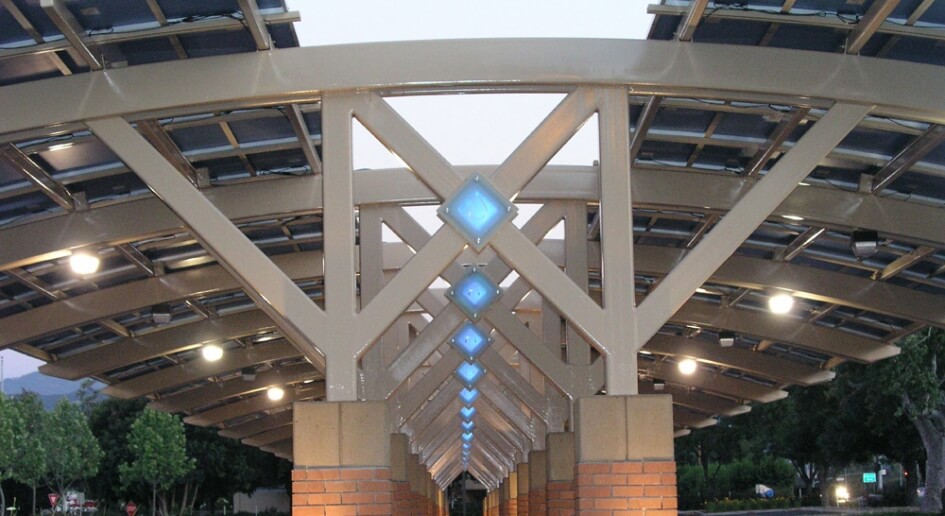
Patio: The large roof overhang and trellis surrounding the Large Meeting Room protects the Patio, providing a space to meet, before and after an event or just on the way to dinner.
Porch: The entry to each building is identified by the stack of floor lounges above and a front porch. Slightly elevated from the adjacent landscape the space is defined by surrounding seat walls which provide a place to hang out or just wait to meet your friends. The space is partially covered by the floor lounges above providing protection from the sun and rain for year round use.
Park: Signifying the heart of the community, equally accessed from each of the residential entries, the Park provides a patch of green for casual hangout. The only turf area on the project will be irrigated through sub-surface gray water captured from sinks and showers.
The building block of the residential floor plans is a cluster of five bedrooms which share a common bathroom. The cluster design includes a clear definition of “porch” space defining each cluster along the hallway. A collection of six clusters forms a floor community which has been carefully planned to reinforce this first level of community within each floor.